Elaboración de Mapas y Planos para análisis, modelado y representación de datos.
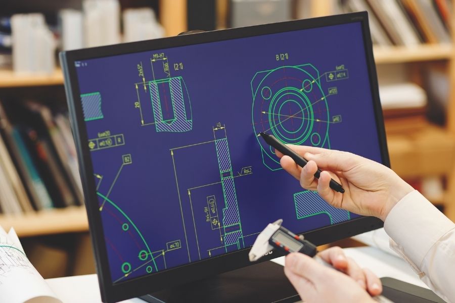
El diseño asistido por ordenador (CAD) consiste en el uso de programas de ordenador para crear, modificar, analizar y documentar representaciones gráficas bidimensionales o tridimensionales (2D o 3D) de objetos físicos como una alternativa a los borradores manuales y a los prototipos de producto.

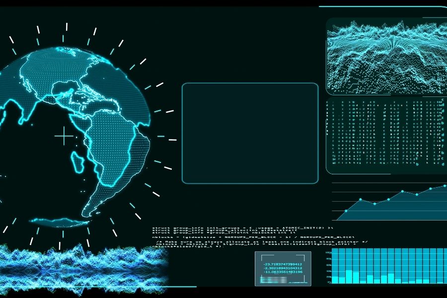
Un sistema de información geográfica (GIS) es un entorno para recopilar, gestionar y analizar datos. Arraigado en la ciencia de la geografía, el GIS integra muchos tipos de datos. Analiza la ubicación espacial y organiza capas de información en visualizaciones usando mapas y escenas 3D. Con esta capacidad única, los GIS revelan conocimientos más profundos de los datos, como patrones, relaciones y situaciones, ayudando a los usuarios a tomar decisiones más inteligentes.


| Cookie | Duración | Descripción |
|---|---|---|
| cookielawinfo-checkbox-analytics | 11 months | This cookie is set by GDPR Cookie Consent plugin. The cookie is used to store the user consent for the cookies in the category "Analytics". |
| cookielawinfo-checkbox-functional | 11 months | The cookie is set by GDPR cookie consent to record the user consent for the cookies in the category "Functional". |
| cookielawinfo-checkbox-necessary | 11 months | This cookie is set by GDPR Cookie Consent plugin. The cookies is used to store the user consent for the cookies in the category "Necessary". |
| cookielawinfo-checkbox-others | 11 months | This cookie is set by GDPR Cookie Consent plugin. The cookie is used to store the user consent for the cookies in the category "Other. |
| cookielawinfo-checkbox-performance | 11 months | This cookie is set by GDPR Cookie Consent plugin. The cookie is used to store the user consent for the cookies in the category "Performance". |
| viewed_cookie_policy | 11 months | The cookie is set by the GDPR Cookie Consent plugin and is used to store whether or not user has consented to the use of cookies. It does not store any personal data. |